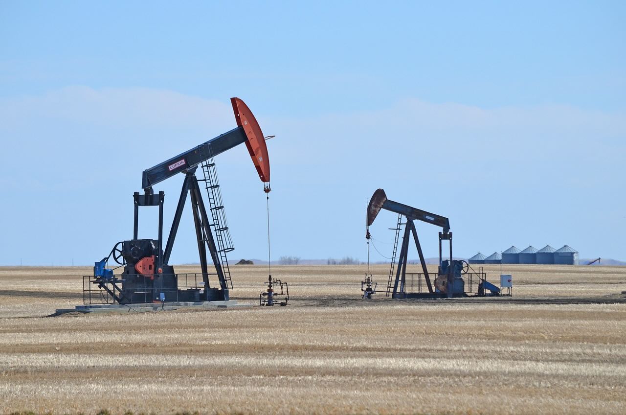
Hundreds of thousands of lost and forgotten oil and gas wells that may be leaking hazardous pollutants are finally being identified with help from a new AI project spearheaded by the US Department of Energy.
Roughly 170 years of undocumented orphaned wells (UOWs) dot the American landscape, left out of formal records with long-gone, unremembered owners. Long out of sight and out of mind, UOWs may be poisoning water supplies with oil and chemicals or releasing benzene, hydrogen sulfide, and methane into the air, necessitating meticulous plugging.
Narrowing the Search for Hazardous Pollutants
Researchers employ drones, laser imaging, and sensor suites to locate these hidden dangers. While these are effective tools on a small scale, covering 3 million square miles of US land is an enormous task. Researchers are feeding historical topographic maps into AI systems to narrow their hunt.
“While AI is a contemporary and rapidly evolving technology, it should not be exclusively associated with modern data sources,” said lead author Fabio Ciulla of the Department of Energy’s Lawrence Berkeley National Laboratory (Berkeley Lab). “AI can enhance our understanding of the past by extracting information from historical data on a scale that was unattainable just a few years ago. The more we go into the future, the more you can also use the past.”
Old Data and New Analysis
In 2011, the US Geological Survey began digitizing 190,000 topographical maps dating from 1884 to 2006. The digitization was more complex than simple scanning; each map was thoroughly geotagged to cross-reference coordinates. Crucially, maps created between 1947 and 1992 used a uniform symbol of a hollow black circle to represent oil and gas wells.
“For a human being, looking at this circle and recognizing it is extremely easy,” Ciulla said. “Until recently, this was the only available method to extract information from these maps – but that strategy does not scale well if we want to apply it to thousands of maps. This is where artificial intelligence comes into play.”
A Needle in a Haystack
It was challenging for AI to pick out the symbols across thousands of maps correctly. Whatever machine learning models the team developed would need to be capable of identifying it against a vast array of competing visual information, such as various types of terrain and background colors, as well as maps in poor condition or featuring stains.
“This problem is equivalent to finding a needle in a haystack, since we are trying to find a few unknown wells that are scattered in the midst of many more documented wells,” said Charuleka Varadharajan, a scientist at Berkeley Lab and senior author of the study.
The researchers manually identified the oil well locations on a sample of 100 map scans. This sample created the base training data for the AI, and from that information, the algorithm could learn to correctly identify the circles against similar shapes like cul-de-sacs or the letter “o.” Geotagging already applied to the maps allowed the AI to compare them to the coordinates listed for known wells.
To guard against false positives, the algorithm only recorded well locations further than 100 meters from known wells, after which a human double-checked them.
Confirmed Results
After researching just four counties in California and Oklahoma, the team found 1,301 possible UOWs. Satellite imagery has confirmed 29, while fieldwork has confirmed an additional 15 UOWs. The algorithm proved accurate to within an average of 10 meters. Confirming the rest will require more boots on the ground, as many are capped at or below surface level.
“With our method, we were conservative about what would be considered as a potential undocumented orphaned well,” Varadharajan said. “We intentionally chose to have more false negatives than false positives, since we wanted to be careful about the individual well locations identified through our approach. We think that the number of potential wells we’ve found is an underestimate, and we might find more wells with more refinement of our methods.”
More Work to be Done
Despite the AI’s success, much work remains to locate the estimated 310,000 to 800,000 UOWs in the United States. Los Alamos National Laboratory oversees the Consortium Advancing Technology for Assessment of Lost Oil & Gas Wells program (CATALOG), which is dedicated to the problem.
Due to varying plugging regiments across different jurisdictions and over time, many solutions do not meet modern standards, and many early wells were left open. CATALOG is pursuing various projects to develop cost-effective sensors to detect these hazards.
The paper “A Deep Learning Based Framework to Identify Undocumented Orphaned Oil and Gas Wells from Historical Maps: A Case Study for California and Oklahoma” appeared on December 04, 2024, in the journal Environmental Science & Technology.
Ryan Whalen covers science and technology for The Debrief. He holds a BA in History and a Master of Library and Information Science with a certificate in Data Science. He can be contacted at ryan@thedebrief.org, and follow him on Twitter @mdntwvlf.

