Modern photography of our universe collected with powerful lenses aboard the James Webb Space Telescope and its predecessor, the Hubble Space telescope, provide us stunning views of distant regions of space. However, much of the universe remains conceivable only in our imaginations, even despite the reach of modern space science observatories.
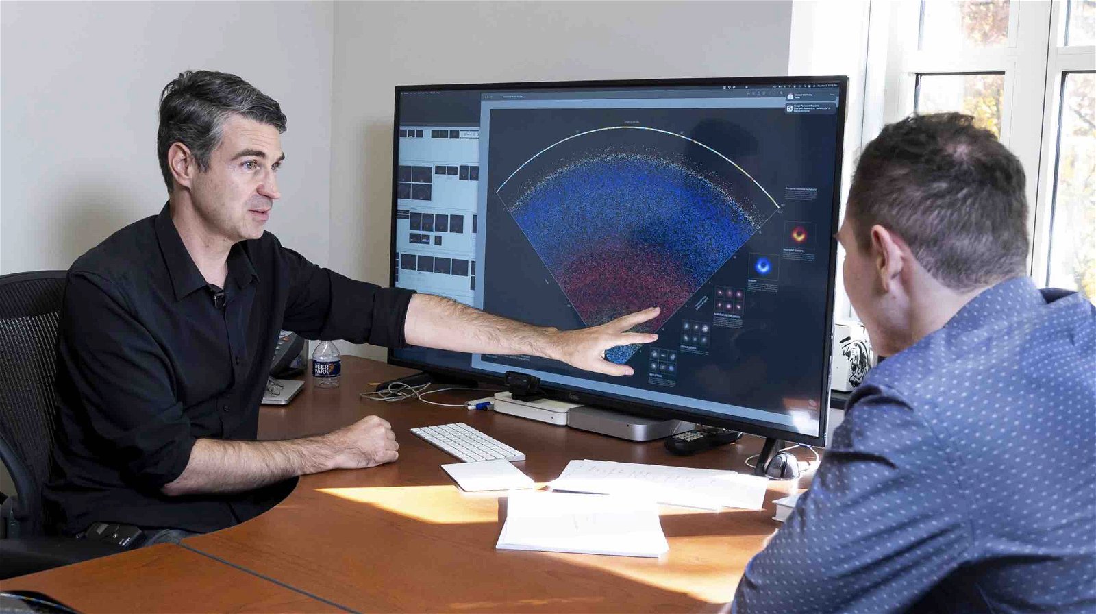
Now, thanks to a team of astronomers from Johns Hopkins University who have been compiling data over the last two decades, armchair astronomers around the world will be treated to one of the most comprehensive displays detailing a map of the universe ever made available.
Using data collected over close to 15 years from the Sloan Digital Sky Survey (SDSS), the new map will offer the general public glimpses of the universe in its near totality and in ways once accessible only to professional astronomers like the Johns Hopkins team.
Displaying galaxies in unprecedented detail, the map features these distant collections of billions of stars in authentic coloration and actual position. The best part is that, in addition to being made freely available for viewing online, the new cosmic map can also be downloaded by serious astronomy enthusiasts.


“This visualization shows a thin slice of the Universe,” reads an entry featured along with the new cosmic map. “Its thickness is about 10 degrees,” noting that although additional astronomical data is available today, “it is not possible to show all of it at once on a 2D map.”
Launched at Apache Point, New Mexico in 2000, the SDSS is one of the most significant multi-spectral imaging astronomy facilities, which also conducts redshift surveys with its 2.5-meter wide-angle telescope. The advanced redshift surveys conducted at the facility employ Hubble’s Law to calculate the distances of galaxies from Earth, with the additional aid of angular position data.
Over the decades since its launch, the SDSS has directed its specialized telescope at slightly different regions of the night sky, allowing it to capture the breadth of the visible universe in unparalleled scope and detail.
Mining its data from these extensive SDSS surveys, the new map was the result of efforts led by Brice Ménard, with assistance from Johns Hopkins computer science alumni Nikita Shtarkman.
Ménard says that Earth and its entire surrounding galaxy, composed of billions of planets and stars, is represented by a single-pixel-sized spot at the very bottom of the new map.
“We are used to seeing astronomical pictures showing one galaxy here, one galaxy there or perhaps a group of galaxies,” Ménard said in a recent statement released by the university. “But what this map shows is a very, very different scale.”
The scale to which Ménard refers is a cross-section of our universe containing approximately 200,000 galaxies, each one represented by a single dot like our own. At the top of the map, viewers will see the initial flash of radiation that is believed to have been produced with the big bang some 13.7 billion years ago.
“From this speck at the bottom, we are able to map out galaxies across the entire universe, and that that says something about the power of science,” Ménard said in the statement.
To observe this remarkable new map of the cosmos for yourself, Ménard and Shtarkman have made the map available on its very own webpage, mapoftheuniverse.net. An option is available that also allows four different versions of the map to be downloaded in high resolution, available at a link at the bottom right-hand corner of the webpage.
Micah Hanks is Editor-in-Chief and Co-Founder of The Debrief. Follow his work at micahhanks.com and on Twitter: @MicahHanks.

